
Description
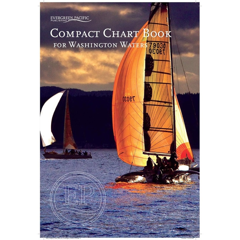
Compact Chart Book for Washington Waters, comprised of 94 pages in a saddle stitch binding. Includes 43 pages of large scale charts of harbors and bays, aids to navigation, U.S. and Canadian Customs information, Facilities index, Index of Islands, Bays, Harbors, Passages, Towns, and special sites and parks. Plus bar advisory for Columbia and Quillayute Rivers, and Williapa Bay and Grays Harbor. Covers all of Puget Sound, the San island Islands, the Strait of Juan De Fuca, and the west coast of Washington State to Columbia River.
Reviews
There are no reviews yet.